Virginia is flat and boring?
Anything you read about the AT will tell you that Virginia will give you the blues and that you will go for days without seeing anything. While Virginia started that way it hasn't stayed that way. The five days out of Pearisburg have been some of the best and most difficult trail yet. The "flat and boring" sections have been welcome breaks for my joints and tired muscles. Pearisburg was a welcome break and after an evening of watching storms roll through I was ready to roll out into a beautiful morning.
The day would take me up a winding climb in to Rice Field and Peters Mountain. The peak was covered with more open farm fields and provided some stunning views. That day I would actually camp in West Virginia as the trail dipped across the state line briefly.
The next day was largely uneventful passing by without many highlights. It was a mix of a day between deep laurel valleys and high ridges. Hardly exciting but still quite wonderful country to be meandering through at three miles per hour.
The next day would set in motion a truly unique trail experience. Shortly after leaving camp I ran into a two man film crew and a small group of day hikers. After striking up a conversation I learned that the film crew were former thru hikers who had been contracted to film stories about the proposed Mountain Valley Pipeline. This pipeline would cut directly across the AT, pulling natural gas from West Virginia to the coast so it can be exported. There is opposition to this pipeline not only for the detrimental effect on the AT but for the fact that the geology of this area is extremely unsafe for an underground pipeline. More information can be found here: http://www.appalachiantrail.org/home/conservation/advocacy---current-issues/2016/11/18/mountain-valley-pipeline-project-threatens-ecosystems-and-landscape-of-virginia-and-west-virginia
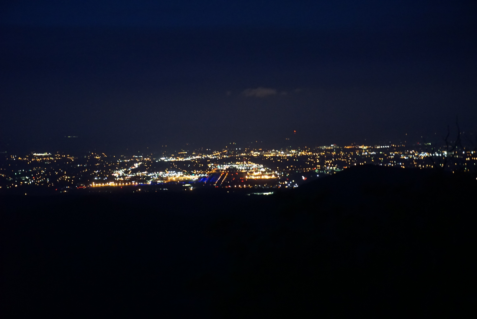
The day hikers were out to capture views from Kelly's Knob which provides a wide overview of the proposed corridor. More specifically from the view we could see a family farm of one of the hikers, this farm had been in the family since the 1700's and the proposed route would plow right through it. During this short hike I heard many deeply personal stories from the hikers about their reasons for opposing the pipeline. While I was aware of this issue, talking to see these folks and seeing places I've hiked and will hike truly brought it home and really had a big impact on me.
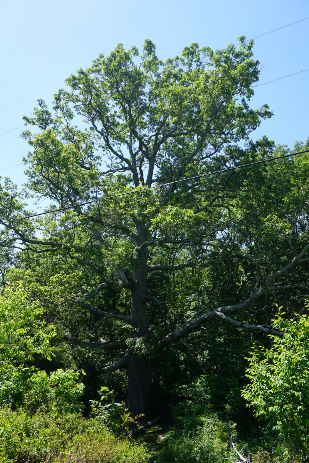
Before leaving one of the hikers offered her home to me when I walked near there in a few days. Her husband Mark has hiked large portions of the trail and their daughter recently completed a thru hike. I thanked her greatly and decided to contemplate the offer. After parting ways with the group I needed to get serious about hiking and cover some miles. The trail would wander off the ridge and head down through some open gorgeous farm country. Along the way it passes Keffer Oak the second largest oak on the AT.
Fro here would be the beginning of some of our most intense terrain yet. After climbing the next ridge the trail ran along exposed slabs of rock, teetering on the edge of the mountain. While challenging it affords amazing views and is a ton of fun. We also crossed the Eastern Continental Divide along this ridge.
The next day was extremely challenging between tough terrain, heat and long stretches with no water. After climbing up and over Brushy Mountain the trail would climb again up to Dragons Tooth, a massive stone monolith. At the top of Brushy was a a monument to Audie Murphy, the most decorated American solider in World War 2, he died in a plane crash on Brushy Mountain.
The climb to Dragons Tooth was long and steady. Even after hitting the ridge the trail wound through massive boulders making for slow going. Dragons Tooth was well worth it, it is an inexplicably large rock sticking out into the air. Descending from here would be the first truly technical section of trail yet. At the end of a long day it was somewhat fun but mostly just exhausting.
When I hit the road crossing at the bottom I met up with Tina having decided that I should not pass up such a generous offer. She whisked me off to her beautiful home tucked in the woods near the trail. She and her husband Mark were truly wonderful, completely opening their home to me. They made me an amazing dinner and breakfast and generally just made me feel at home. I've been on the receiving end of lots of kindness from strangers but this went to an entirely new level. The next day they allowed me to stay and wait out the worst of the morning rain making it clear that I was more than welcome to stay another night. Despite the temptation I pushed out into the rain reaching McAfee Knob as the rain broke affording wonderful views. The knob is one of the most recognizable sites on the AT thanks to a ledge that appears as if it dangles out over space when really it's not that exposed.
McAfee would truly shine the next day though after camping a half mile from the view I was back at the top at 5am. The view truly on a show with an incredible sunrise. I was there through the entire process. An added magical piece of this was listening to the entire forest below me explode in bird song, seemingly all at once, around 5.30 am.
From here it was 15 pretty miles down to Daleville and BBQ. The trail would take us along a ridge to Tinker Cliffs, offering a look back at McAfee Knob. Thanks to Pippi for pointing it out. The rest of the day would offer many tempting views of a distant reservoir.
While not planned I decided to enjoy a day off in Daleville. My body seems to feel the affects of 700 plus miles and a fairly challenging three day stretch of trail.


