The Whites!
I finally made it to the White Mountains, this stretch of is arguably the most scenic and toughest of the entire trail. Hikers talk about "The Whites" from almost day one on the trail. They are also made out to be the stretch of trail that should be feared, so much so that a group us all began to joke that we are all going to die in the whites. The reality is that these are mountains that should be respected but with common sense and a little good luck with weather they can be safely traversed. However, they were every bit as physically demanding and technical as promised.
The trail goes over a series of mountains and ridges that each have a unique character. These ranges are divided by notches, the local name for a gap or narrow valley. The first set were the Kinsmans. These were relatively low summits but provided a good preview of the bigger ranges to the north. I would camp near Kinsman Pond while here, a beautiful pond tucked below the summits.
On the way out of the Kinsmans the trail passes Lonesome Lake and provides a great view of the Franconia Ridge. Franconia is the first stretch of above tree line hiking of the entire trail and the Whites. These alpine stretches are what makes the Whites unique and potentially dangerous.
Thankfully I would have perfect weather for this stretch of trail. Here I would summit several peaks including Lincoln and Lafayette. This stretch was amazing and provided a preview of the upcoming Presidential Range.
The next day I would experience first hand how dramatically weather differs at elevation from that in the valleys. It differs so much that there are two daily forecasts provided so people can plan appropriately, these differences are one of the elements that make the Whites dangerous. This day I would start the day up high in the clouds with mist, 30 to 40 mph winds and a temperature in the 40's, by the end of the day near Crawford Notch it would be 50-60 degrees with sun and almost no wind.
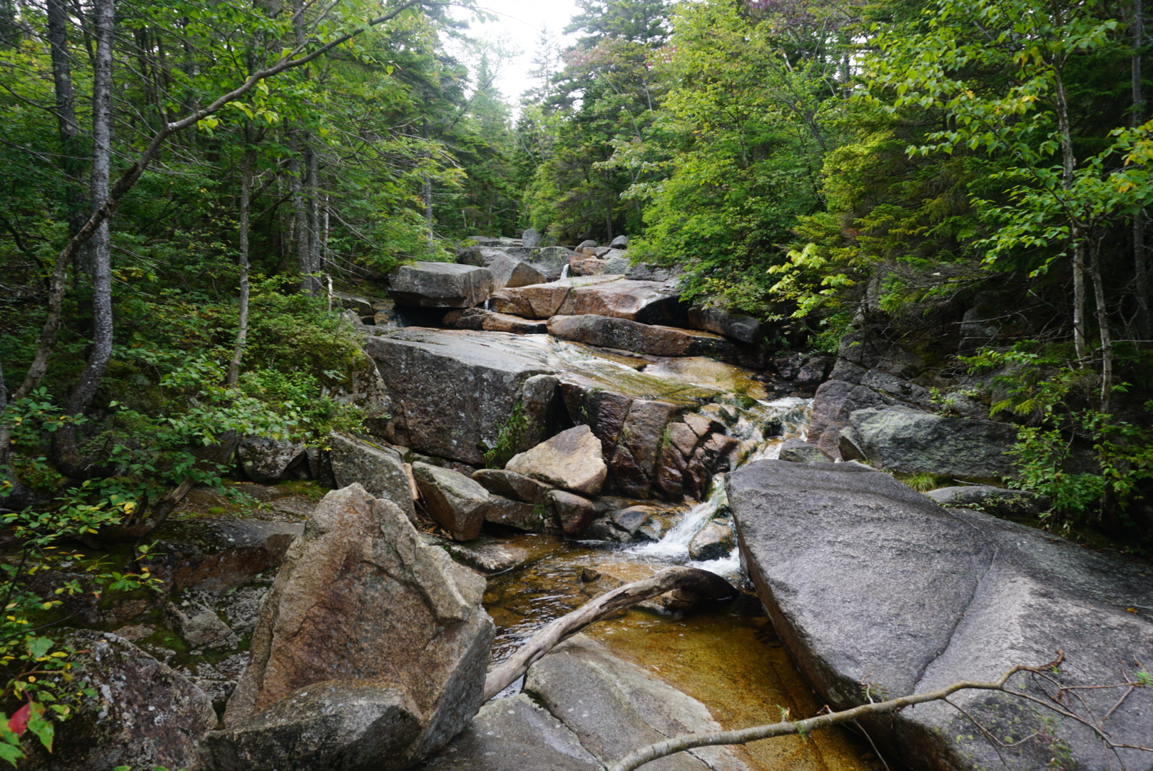
That night I would camp near Ripley Falls after getting up and over South Twin And Guyot Mountains.
The next day would bring me to a almost full stop as the weather had turned colder and the winds had gotten stronger. I was now at the foot of the Presdential range, the highest mountains in the Whites. Here the trail goes above tree line for nearly fifteen miles. This is the one truly dangerous stretch of trail especially in bad weather as there is absolutely zero protection from foul conditions. As I ascended to Mizpah Hut I was buffeted by steady 40-50mph winds and gusts that nearly knocked me off my feet. This would inform my choice to not push on the Lakes of the Clouds hut below Mt. Washington. My decision was made final when I saw Washington cloaked in clouds and ice.
Sidebar: These huts are a series of rustic accommodations that are spread along the Whites where guests can stay the night or just pop in for a break. They are not much but on a bad weather day they offer welcome shelter. I personally would only stay near Mizpah at their tenting area but I would visit most of the huts for snacks and water.
The most unique and sought after hut would be Lakes of the Clouds which sits only about two miles below the summit of Mt. Washington at nearly 5,500 feet.
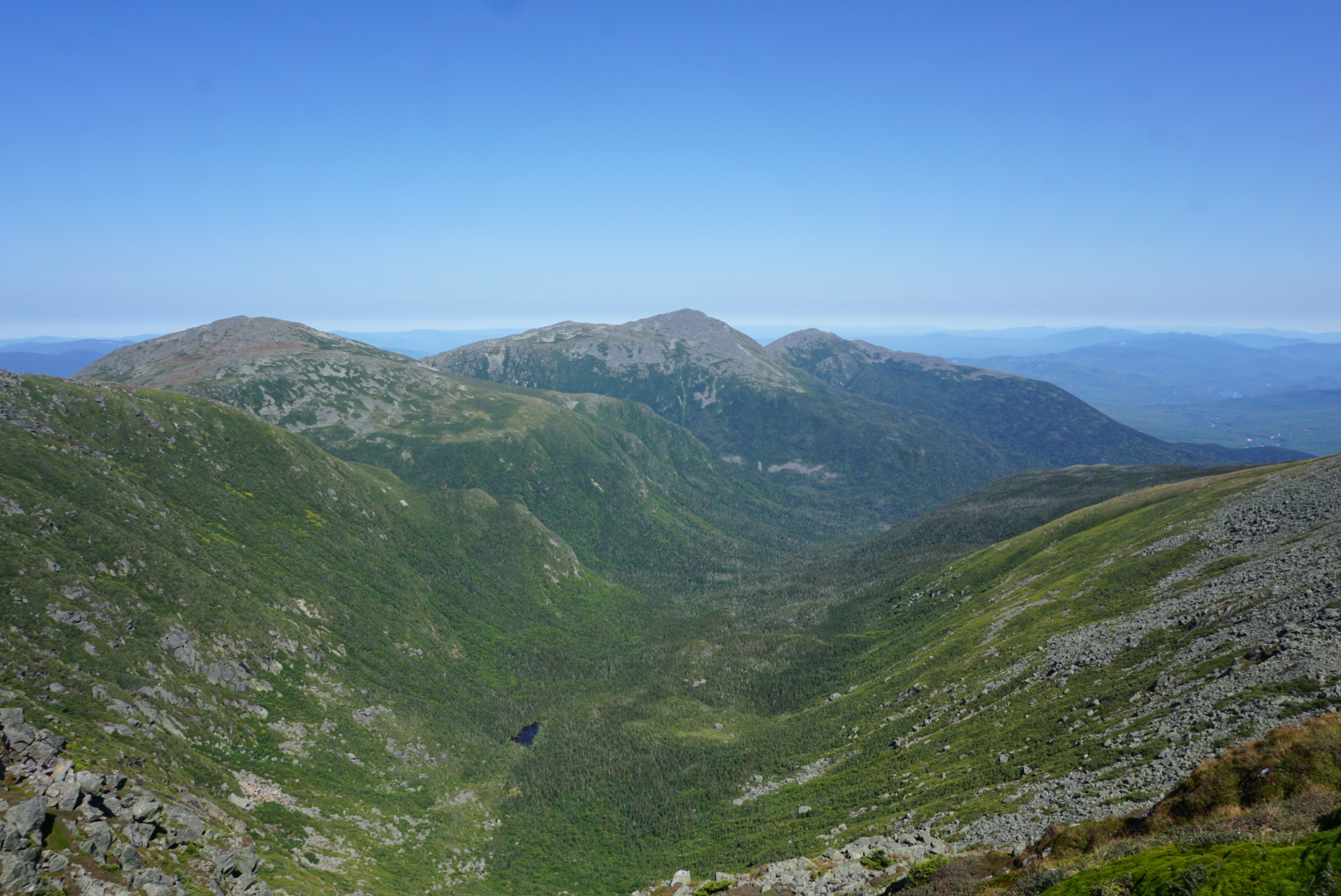
The next morning would dawn clear and cold. I somehow had lucked into a bluebird day for my summit of Washington and traverse of the Presidential Range. As my entire day would be above tree line this was good for safety reasons and equally important the views. The trail winds through the range, in an uncharacteristic move the trail would actually skip most summits and stick to lower trails.
Mt. Washington was cloaked in rhime ice which provided a really unique experience at the summit.
It was also choked with people, I don't think I've been around so many people since I started the trail. There was a line to get a photo at the summit sign, most of these people drove to the summit but curiously still needed that summit photo.
As I hiked north the trail quickly quieted down as I could see the rest of the day stretched out before me.
The traverse ends with a steep climb over Madison. This was essentially a giant pile of rocks and yes the summit is just as pointy as it looks.
The next two days of hiking would involve lots of hard trail but not many photos thanks to foul weather. The trail winds through the Wildcats and the Carter Range. I would spend a night as I started this stretch near a pond tucked into Carter Notch.
This was an amazing stretch of trail and probably the hardest stretch I've done. I am taking a day off to give my body a brief chance to recover. Getting through the Whites is a huge accomplishment of any thru hike and from here Maine is only twenty miles away and the end of the trail only 278 miles from there.


