Pennsylvania
The trail through Pennsylvania follows an interesting course alternating at times from quiet woods, to open farmland and even rather urban landscapes. Not long after entering the state I reached the official halfway point of the trail. This years official point (the trail changes in distance almost every year) was marked with a small sign, a few miles north a much more official sign could be found.
A unique feature of the trail in this part of the state was very nice shelter areas. Elsewhere on the trail, shelters are at best nice places to relax for lunch but not somewhere I spend my nights. Here the shelters had benches, covered pavilions for eating and even some landscaping. At Tumbling Run they even had a snoring and non-snoring shelter.
Pennsylvania is known for rocks and rocky trail. This can be a mixture of fun rock scrambles, rock hopping or just miles of trail littered with ankle turning rocks. The scrambling is the most fun, early on I ran into the "Rock Maze". Here the trail wanders up over and through a giant pile of boulders.
North of here the trail crosses Center Point Knob the original midpoint of the trail.
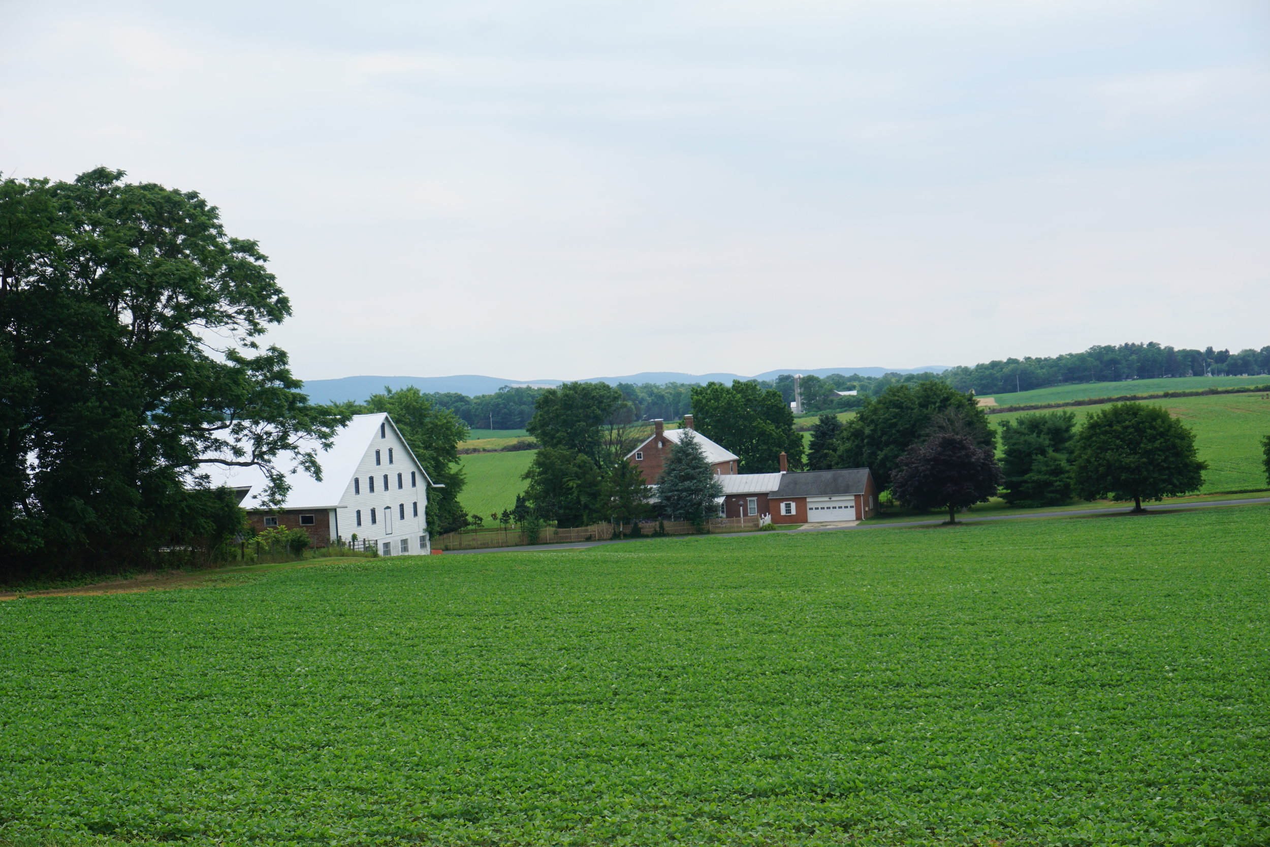
From here the trail descends into the Cumberland Valley and the small town of Boiling Springs. The trail crosses the entire valley offering 18 miles of hiking through rolling farmland surrounded by Appalachian ridges.
After climbing out of the valley the trail quickly took me to Duncanon and the infamous (and lovely) Doyle Hotel. Here is almost a required stop on the trail and since it was a rainy day many of us obliged. Passing the afternoon with board games and cheap beers.
The next twenty miles of trail was a tough section for me as I fought a couple day bug that slowed me down. The trail crossed the Susquehanna River and climbed the first of many long ridges that would carry me to the Delaware Water Gap. From here to Port Clinton was uneventful but pretty trail.
The trail passes through the small town of Port Clinton crossing the rail yard on the edge of town. North of Port Clinton the rocks began in earnest over the next three or four days they would be an almost constant presence in all forms on the trail. The effects of this could be seen in many hikers and there was lots of talking about just getting the the Delaware Water Gap where the rocks would hopefully begin to lessen.
As the trail goes north it drops through several gaps. Most noteable would be the Lehigh Gap mostly for the steep and often technical climb out. These are challenging but extremely fun sections.
From here there wasn't much to note from the last forty miles of Pennsylvania other than it seemed many of those miles were covered in small ankle turning rocks. I eventually made it to the Delaware Water Gap and was more ready for three days of being off my feet and enjoying time with family.


